© OpenStreetMap contributors

With a route that definitively enters the southern part of the Penedès plain, this stage begins at the Santa Margarida i els Monjos train station. It starts in a highly industrialized area, but the asphalt and chimneys soon give way to farm tracks surrounded by vineyards, not far from the Foix River. The stage also has the merit of visiting some of the most important Roman remains in the Penedès. The routes for hikers and mountain bikers (both mountain and gravel) coincide.
Shortly after leaving the starting point at the train station, still near the industrial area of Els Monjos but already in the vineyards surrounding Penyafort Castle, lies the Roman site of Santa Tecla – La Gravosa. Only a section of wall, known as the Santa Tecla Wall, remains visible, which would have corresponded to the rural part of the settlement. The route continues along the Les Mases path, crossing the Foix River a couple of times, until reaching the BV-2117 road, which is followed to the hamlet of Les Masuques (Castellet i La Gornal). In Les Masuques, the road is left behind, and continues through the path leading to the Romanesque church of Sant Esteve de Castellet. Near the church are other Roman remains: the Les Masuques bridge, built of stone and mortar with a single arch, and some tombs where a Roman milestone was originally identified.
Before reaching L’Arboç, the route passes through an old sluice gate, also of Roman origin, which regulated the flow of the Marmellà stream. This fairly well-preserved sluice gate marks the entrance to the municipality of L’Arboç, the end of this stage. After crossing the TP-2115 road, you’ll enter the Moliner path, which crosses a vast plain of vineyards to L’Arboç. To continue to the next and final stage, proceed straight ahead to the Clariana boundary cross. If you follow the track to L’Arboç, it ends at the train station, but first takes you through the historic center of this town in the Baix Penedès region.
© OpenStreetMap contributors
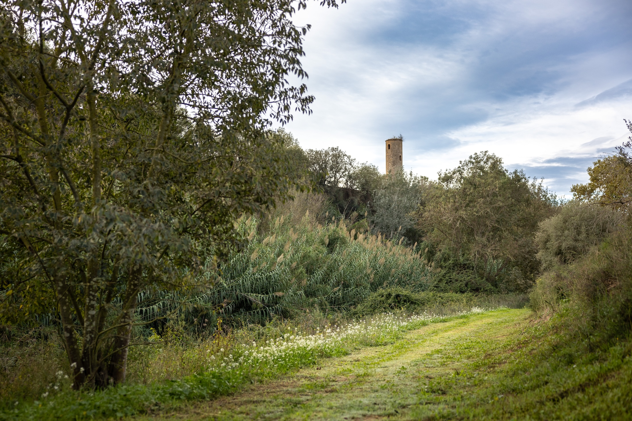
The oldest part of this architectonic complex is the circular tower, which probably dates from the 12th century, which corresponds to the remains of the birthplace of Raymond of Penyafort (1185-1275). In addition to this medieval tower, the complex includes various buildings erected as of the 17th century, which were a Dominican convent up until the confiscations of Mendizábal in 1836. Afterwards, the building passed into the hands of the bourgeois Puig i Llagostera family, who made it their summer residence. This building has had several owners over the decades, who have implemented various improvements and projects, until in 2001 it became the property of the municipality.
The Centre for Interpretation of Republican Aviation and Air Warfare is a museum related to aviation and the civil war that is located beside masia del Serral which had housed the republican airfield of els Monjos that was part of the Vesper de la Gloriosa (Hive of the Glorious).
Next to the centre there is the old air raid shelter, whose two entrances and three ventilation chimneys can be seen. The presence of this shelter is related to the existence of the airfield. It is about 10 m deep and has a capacity for about 120 peoples.
The construction known as Foix Mill (formerly Macià mill) is what remains of the old medieval flour mill, which took advantage of the water carried by the Foix river to mill grain. The entire exterior structure of the mill is preserved, as is part of the pool where the water accumulated.
The building, owned by the municipality, is the headquarters of the Foix Mill Historical and Natural Interpretation Centre, Nature Classroom and Botanical Garden, with native species, where educational activities are carried out for school children and the general public on environmental and natural issues.